Chandigarh, June 25: An unprecedented combination of suppressing weather parameters has delayed the arrival of the southwest monsoon across northwestern India, pushing the region into a severe precipitation crisis. Meteorological observations compiled from June 1 to June 24 indicate that Chandigarh registered a staggering 60 percent rainfall shortfall, logging a mere 39.3 mm against its historical average of 97.1 mm. Neighboring states face a parallel scenario, with Punjab recording a 25 percent deficit and Haryana facing a 16 percent drop from normal seasonal baselines during the same window.
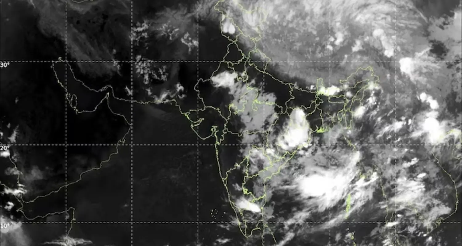
The India Meteorological Department (IMD) projections indicate that the seasonal advance is currently stalled due to unfavorable planetary wind configurations and regional storms. Senior experts noted that the monsoon is now anticipated to reach parts of Haryana between June 26 and July 1, while entering Punjab between June 27 and July 3, well past conventional schedule margins.
“The thunderstorm activity being witnessed over Chandigarh, Punjab and Haryana is pre-monsoon in nature and should not be confused with monsoon onset,” a senior meteorologist asserted while clarifying the current climatic patterns. “The southwest monsoon’s advance slowed considerably during the past two weeks because of unfavourable large-scale atmospheric conditions and repeated western disturbances. While isolated thunderstorms and showers will continue to occur, a sustained wet spell associated with monsoon arrival is more likely towards the end of June.”
Weighing heavily on the agricultural sector, the ongoing dry spell threatens the planting of vital kharif crops like paddy, maize, and jowar, while increasing pressure on already critical regional groundwater aquifers. Farmers’ unions have noted that delayed transplanting could severely impact crop yield and raise input operational costs due to continuous tube well usage.
The primary cause of this systemic slowdown is a rare convergence of five distinct global factors, led by an 82 percent probability of El Niño development in the Pacific Ocean, which has disrupted moisture-carrying wind currents. Additionally, dry continental air left behind by five successive western disturbances, a weak Madden-Julian Oscillation, a feeble Somali Jet, and the absence of cyclonic depressions in the Bay of Bengal have collectively halted the northward push of the monsoon trough.
“We have been observing excess moisture being added to the monsoon rainfall since 2000 and this accumulated moisture will be causing rainfall somewhere,” the IMD Director General Dr. Mrutyunjay Mohapatra stated, regarding long-term climate signals. The immediate challenge for the northwestern belt remains navigating this extended waiting period until sustained westerlies bring a permanent drop in day temperatures.