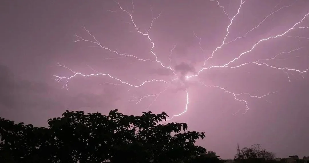
CHANDIGARH, June 1—Meteorological officials announced Monday that persistent western disturbances will bring widespread thunderstorm activity to Haryana through June 5, effectively preventing the onset of heatwave conditions across the region. While southern districts like Gurugram will see brief temperature hikes, intermittent rainfall is expected to stabilize regional mercury levels over the next five days.
The state experienced unseasonably mild conditions over the weekend, with Sunday’s average maximum temperature dropping 7.4 degrees Celsius below normal limits, and Sirsa tracking the highest temperature at 37 degrees Celsius. Indian Meteorological Department Chandigarh Director Surender Paul stated that the alternating wet spells would successfully suppress extreme summer heat.
“The day temperature in south Haryana will rise on Monday,” Paul noted, adding that due to thunderstorm activity largely remaining on and off in the state for the next five days, maximum temperatures are expected to remain stable, and heatwave conditions are unlikely to develop.
The weather pattern will initially impact the western belt on Monday, bringing light to moderate showers and winds up to 50 kilometers per hour to Sirsa, Fatehabad, Hisar, and Bhiwani. The weather department noted that the precipitation is expected to intensify by June 4, expanding from isolated pockets to cover multiple locations in Panchkula, Ambala, and Yamunanagar.
CHANDIGARH—Extreme summer heat will remain absent from Haryana this week as a series of thunderstorms and wind squalls are forecast to sweep the state through June 5. The Indian Meteorological Department indicated that while early June typically brings intense heatwaves, incoming western disturbances will trigger scattered downpours that keep regional temperatures in check.