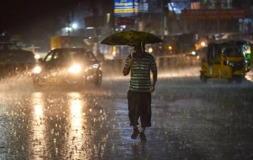
Chandigarh, June 30: The India Meteorological Department (IMD) has stated that conditions are becoming increasingly favorable for the southwest monsoon to enter Delhi and surrounding northern states over the next five to six days. The anticipated weather shift follows a prolonged period of dry, humid weather across the region that has kept regional temperatures elevated.
The gradual progression of the rain system is expected to steadily cover wider sections of the North Arabian Sea, Uttar Pradesh, and Uttarakhand within the coming days. Weather analysts maintained that the recent delay in the monsoon’s traditional schedule stemmed from an atmospheric interaction where dry westerly winds from neighboring regions crossed paths with moisture-heavy southwesterly winds coming from the Arabian Sea.
Meteorological officials declared that this wind pattern created localized cloud cover without generating significant rainfall. “Conditions are favourable for the monsoon to advance further across northern states over the next five to six days,” an official representative asserted, adding that specialized tracking systems are closely monitoring the movement of the clouds to provide timely rural updates.
While regional capitals wait for the main monsoon front, surrounding hilly terrains are preparing for an immediate change in weather patterns. Regional weather hubs have forecast a sustained wet spell across Himachal Pradesh and parts of Jammu and Kashmir, with localized alerts issued for thunderstorms and gusty winds as a fresh western disturbance begins to influence northwestern India.