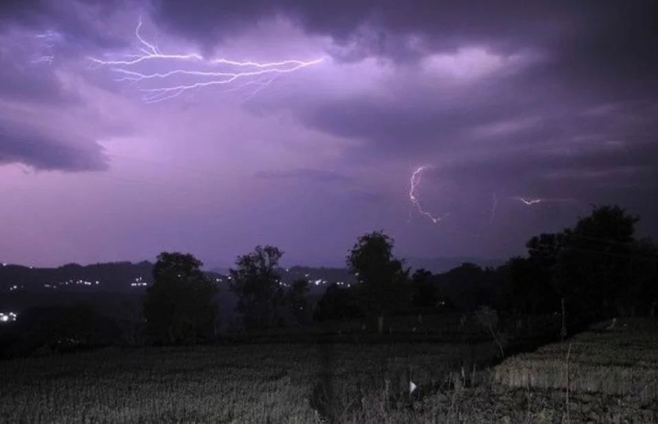
CHANDIGARH, MAY 22 — Parts of Haryana are expected to receive temporary relief from intense pre-monsoon heat as thunderstorms develop over the next 24 hours, India Meteorological Department officials stated Friday.
The localized weather shift follows recent dust storms across Punjab and Chandigarh. However, regional meteorologists cautioned that the unstable atmospheric conditions will not break the broader heatwave, with the agency maintaining its orange alert status for most districts across the state.
“There is a chance of a thunderstorm in Haryana in the next 24 hours,” stated Surender Paul, the director of the IMD center in Chandigarh. He noted that while the rainfall will provide short-term comfort from elevated temperatures, severe heatwave conditions are projected to persist for several more days.
Operational forecasts indicate precipitation and localized storms will hit Panchkula, Ambala, Yamunanagar, and Sirsa. Conversely, 16 southern and western districts—including Gurugram, Hisar, Rohtak, and Faridabad—remain under an orange alert. The multi-district alert configuration will continue through the weekend, expanding to encompass the entire state by May 24.
Regional weather stations continue to log daily temperatures above 41 degrees Celsius, with Sirsa recording the highest recent reading at 45.8 degrees Celsius. Met officials classify a heatwave when local measurements reach 45 degrees Celsius or exceed baseline seasonal averages by 4.5 to 6.4 degrees Celsius.
Public health advisories state that prolonged outdoor exposure under these alerts carries a high risk of heat illness, particularly for infants, elderly residents, and individuals managing chronic health conditions.
Agricultural authorities have advised local farming communities to secure consistent irrigation channels for standing cotton, sugarcane, and summer fodder crops. Additionally, agronomy experts suggested using mulching techniques to conserve soil moisture and protect fresh paddy nurseries from severe water stress.