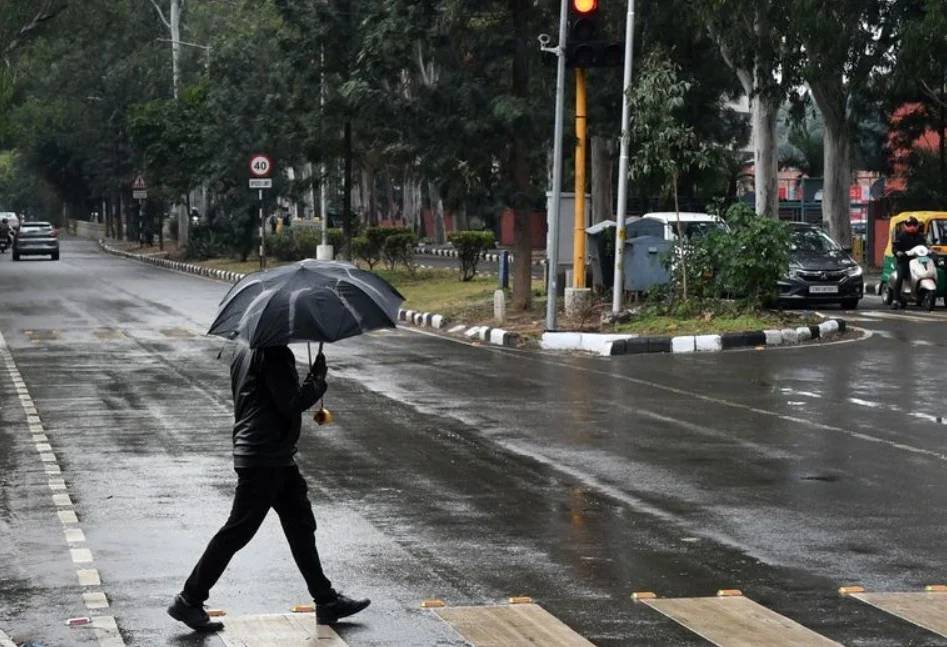
Chandigarh, March 31: A moderate thunderstorm accompanied by lightning and high-velocity winds swept through Chandigarh, Mohali, and Panchkula late Tuesday, causing disruptions to power supplies and damaging public infrastructure. The storm, which featured wind speeds between 40 and 50 kmph, resulted in uprooted trees and blocked roadways across the region, though no casualties were reported at the time of the event.
The late-evening disturbance concluded a month that saw 24 percent more rainfall than the long-term average. Chandigarh recorded a total of 23 mm of precipitation in March, surpassing the typical 18.6 mm expected for the period. This marks a significant recovery from the previous year, when the city experienced a 60 percent deficit in March rainfall.
Meteorological officials affirmed that the recent weather activity has brought a mix of temperature variations to the area.
“Tuesday’s maximum temperature settled at 31.9°C, almost normal,” a representative from the Chandigarh meteorological centre stated. The official also noted that the minimum temperature dropped to 16.5°C, slightly below the seasonal average.
While Wednesday is expected to see only isolated light rain and Thursday is forecast to remain dry, the India Meteorological Department has issued a yellow alert for Friday and Saturday. Forecasters maintained that another spell of thunderstorms, lightning, and gusty winds is likely to impact Punjab, Haryana, and Chandigarh during the first weekend of April.
Temperatures are projected to peak around 36°C mid-week before cloud cover and anticipated showers cause a slight dip to 33°C by Saturday. Regional data indicated that while Chandigarh remained near normal, parts of Punjab, including Patiala, recorded maximum temperatures more than two degrees above the seasonal average earlier in the day.