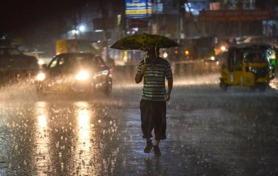
Chandigarh, June 13: Daytime temperatures are set to climb by four to six degrees over the next five days despite a continuous forecast of intermittent rain across Chandigarh and Haryana until June 17. The Meteorological Centre in Chandigarh announced that a series of western disturbances are triggering the current wet spell across northwest India. The weather office stated that while the mercury will rise gradually during this period, no major temperature variations are expected once the initial five-day increase concludes.
The distribution of the rainfall will vary daily across the region. Following widespread showers in 18 districts on June 13, the IMD indicated that the coverage will diminish to up to 25 percent of the area—classified as isolated locations—on June 14 in select districts like Hisar, Bhiwani, and Charkhi Dadri. However, a fresh revival of the system on June 15 will once again bring isolated rain to the majority of the state and the joint capital, excluding the districts of Sirsa and Fatehabad.
The closing leg of the weather pattern will see light to moderate precipitation across 15 districts on June 16, before expanding back to 18 districts on June 17, leaving only the northern belt of Panchkula, Ambala, Kurukshetra, and Yamunanagar dry. Local weather officials affirmed that the ongoing showers are typical of pre-monsoon western disturbances currently influencing the region’s climate.